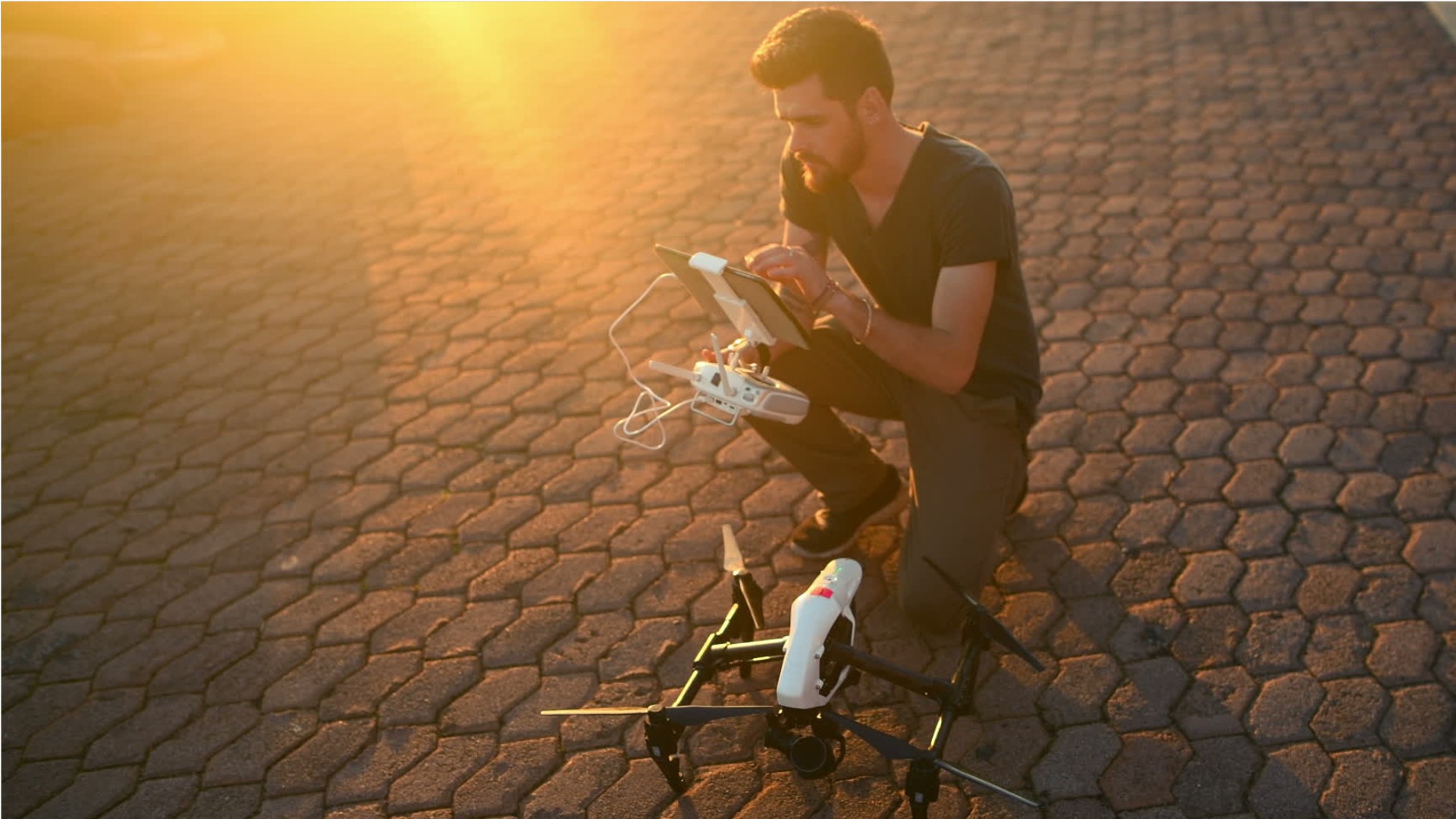
Remote Sensing Scientists & Technologists
Geospatial Intelligence Analyst, Image Scientist, Remote Sensing Analyst, Remote Sensing Scientist
- Manage or analyze data obtained from remote sensing systems to obtain meaningful results.
- Analyze data acquired from aircraft, satellites, or ground-based platforms, using statistical analysis software, image analysis software, or Geographic Information Systems (GIS).
- Integrate other geospatial data sources into projects.
Knowledge
Math and Science
- geography
- arithmetic, algebra, geometry, calculus, or statistics
Engineering and Technology
- computers and electronics
- product and service development
Arts and Humanities
- English language
Business
- customer service
Skills
Basic Skills
- reading work related information
- thinking about the pros and cons of different ways to solve a problem
Problem Solving
- noticing a problem and figuring out the best way to solve it
People and Technology Systems
- thinking about the pros and cons of different options and picking the best one
- figuring out how a system should work and how changes in the future will affect it
Abilities
Verbal
- communicate by speaking
- communicate by writing
Ideas and Logic
- make general rules or come up with answers from lots of detailed information
- use rules to solve problems
Math
- choose the right type of math to solve a problem
- add, subtract, multiply, or divide
Visual Understanding
- see hidden patterns
Personality
People interested in this work like activities that include ideas, thinking, and figuring things out.
They do well at jobs that need:
- Analytical Thinking
- Attention to Detail
- Integrity
- Achievement/Effort
- Persistence
- Adaptability/Flexibility
Technology
You might use software like this on the job:
Analytical or scientific software
- Calibration software
- The MathWorks MATLAB
Video creation and editing software
- YouTube
Object or component oriented development software
- Scala
- Swift
Education
master's degree
usually needed
Job Outlook
Explore More
- Electro-Mechanical & Mechatronics Technologists & Technicians
- Geodetic Surveyors
- Geographic Information Systems Technologists & Technicians
- Geological Technicians
- Remote Sensing Technicians
You might like a career in one of these industries:


